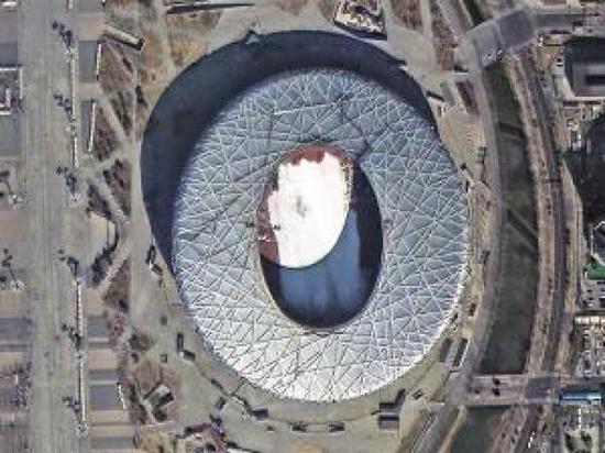
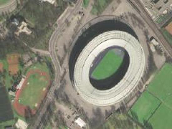
High-definition image of domestic satellite Gaojing-1: You can see the ski resort in the Bird’s Nest.
Xinhua News Agency, Beijing, March 20th, New Media Specialist A group of 01 satellites of Gaojing No.1, China’s first 0.5-meter commercial remote sensing satellite, recently sent back a group of high-definition images. The following are some high-resolution images recently taken by Gaojing-1 satellite announced by China Aerospace Science and Technology Corporation:
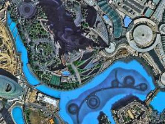
The picture shows the shore of Beihai, Guangxi Zhuang Autonomous Region. Many tourists can be seen on the beach.
On December 28, 2016, two satellites of Group 01 of Gaojing No.1 were successfully launched in Taiyuan Satellite Launch Center in the form of one arrow and two stars.
According to Zhang Xiaomin, deputy general manager of Dongfanghong Satellite Co., Ltd., the Fifth Academy of China Aerospace Science and Technology Corporation, which is in charge of satellite development, Gaojing-1 satellite has a panchromatic resolution of 0.5 meters, a multispectral resolution of 2 meters, an orbit height of 500 kilometers and a width of 12 kilometers, and has various imaging modes such as continuous strip, multi-strip splicing, multi-target and stereo. The satellite adopts advanced control system and highly integrated electronic system, with light weight, strong maneuverability and image quality reaching the international first-class level.
After Gaojing-1 satellite is put into use, the images sent back can be widely used in many fields of national social development.
The commercial operation of Gaojing No.1 is under the responsibility of China Siwei Surveying and Mapping Technology Co., Ltd., a subsidiary of China Aerospace Science and Technology Corporation. Xu Wen, general manager of China Siwei Surveying and Mapping Technology Co., Ltd. said that Gaojing No.1 will provide users around the world with remote sensing data with high space, high time, high spectral resolution and all-weather earth observation capability, its value-added application services and application system solutions. The service targets cover many traditional industries such as surveying and mapping, land and resources investigation, urban construction, agriculture, forestry, water conservancy, geology and mineral resources, environmental monitoring, national defense security and emergency disaster reduction. It also has great application potential in emerging industries such as the Internet, location services, smart cities and financial insurance.
In addition, with Gaojing-1 satellite, websites such as Google, Baidu and Gaode will be able to provide users with more and better high-resolution satellite images and further promote the development of the Internet map industry.
It is understood that at the end of 2017, China will also launch two high-view series satellites, when four 0.5-meter-level resolution satellites will be networked. This will improve the situation that domestic high-resolution commercial remote sensing satellite images rely on imports for a long time.